The Ride
 Go around the gate at the start of the fire-road. You will pass some residences on the left and soon be making a sharp right up the first switch-back. Here you may notice a small waterfall to the left. After a wet winter this flows well but in late summer don’t expect anything more than a trickle. Go around the gate at the start of the fire-road. You will pass some residences on the left and soon be making a sharp right up the first switch-back. Here you may notice a small waterfall to the left. After a wet winter this flows well but in late summer don’t expect anything more than a trickle.
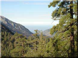
Continuing up the road you can catch a glimpse of the valley to the South. It’s not long before Baldy Notch comes into view for the first time; that’s where the chair lift terminates.
At 2.3 miles and again at 2.8 miles you pass under the chair lift. This runs year round, used in summer by hikers wanting to get a head start on the trek to the Mount Baldy peak.
2.9 miles puts you at a junction. Going left or straight will get you to Baldy Notch. For this trip I went straight and returned via the other road. This will take you past a collection of (partial) vehicles and other equipment in various states of decay. There always seems to be ‘new’ junk up here when I ride through.
Baldy Notch is reached at 3.5 miles. This is an excellent resting and refuelling point with drinking water, rest rooms and even a modest restaurant. If you’ve had enough climbing this represents a good turnaround point.
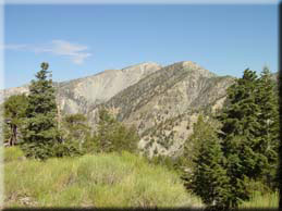 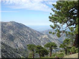 To the North West you will see the trail heading off to Devils Backbone and Mount Baldy peak. To reach Thunder Mountain go North towards the desert, reaching another junction at 3.6 miles. From here go right (as indicated by the sign) to begin a short but challenging climb. This area can be surprisingly green even in late summer. Quite remarkable considering the harsh conditions experienced up here (cold and windy winters with deep snow followed by months without any rain and drying Santa Ana winds). In addition to views of Mount Baldy at 4.5 miles you will also see the top of Thunder Mountain - where the ski lift ends. To the North West you will see the trail heading off to Devils Backbone and Mount Baldy peak. To reach Thunder Mountain go North towards the desert, reaching another junction at 3.6 miles. From here go right (as indicated by the sign) to begin a short but challenging climb. This area can be surprisingly green even in late summer. Quite remarkable considering the harsh conditions experienced up here (cold and windy winters with deep snow followed by months without any rain and drying Santa Ana winds). In addition to views of Mount Baldy at 4.5 miles you will also see the top of Thunder Mountain - where the ski lift ends.
After 4.8 miles you have the choice of going straight ahead and climbing the ski run, or bearing right. Before considering coming down the ski run I recommend hiking up it to get an appreciation of the steepness. I’ve come down that way - just once.
After some hike-a-bike you will discover a ski hut at the top, along with the lift bull wheel and plenty of other evidence that this place really comes to life during ski season. During summer it’s always deserted up here when I’ve visited; a good opportunity to rest and absorb the views in peace.
To return I recommend taking the road to the West - it makes a sharp right and then connects to a short but fun single track (don’t take the parallel ski run to the North). The single-track will put you back on the fire-road you ascended at the base of the ski run.
Backtrack to Baldy Notch, and take the fire-road that starts between the two huts - yes there really is a fire road there 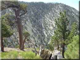 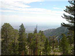 although you would not expect it. At the junction (6.7 miles) go right to reconnect with the fire road we came up. although you would not expect it. At the junction (6.7 miles) go right to reconnect with the fire road we came up.
At 8 miles you have the option of bearing left and taking a steep descent - 532 foot drop in just a third of a mile. If you take the steep path expect it to be an exercise in slow speed manoeuvring rather than a high speed thrill ride: the road is not well graded and has some large rocks but is rideable most of the way. Taking this route, you will reach the upper parking lot at 8.5 miles, where the ski lift starts. Follow the road through the switch-backs and gate, and complete the ride with a short but exhilarating return to the car on the paved road.
`
|

