The Ride
 Start by exiting the parking area onto Altadena Drive and turning right to head North. Traffic on this road can be fast moving, so stay right of the white line when possible. The road heads West before connecting with Lake Avenue. The offroad segment begins at the top of Lake Avenue, but to avoid the traffic and enjoy some quiet residential streets I recommend turning right (North) on to Maiden Lane at 2.49 miles. Use Mountain Curve Street to keep heading North and Alta Pine Drive to connect with Lake Ave, where you turn right to complete the climb. Start by exiting the parking area onto Altadena Drive and turning right to head North. Traffic on this road can be fast moving, so stay right of the white line when possible. The road heads West before connecting with Lake Avenue. The offroad segment begins at the top of Lake Avenue, but to avoid the traffic and enjoy some quiet residential streets I recommend turning right (North) on to Maiden Lane at 2.49 miles. Use Mountain Curve Street to keep heading North and Alta Pine Drive to connect with Lake Ave, where you turn right to complete the climb.
The gate to Colby Estate appears on the right at 3.68 miles, where Lake Avenue meets Loma Alta Drive. Pass to the right of the gate, staying on the single track path (giving way of course to hikers - this is a very popular route with walkers to echo mountain). At 3.8 miles the path divides into two - we take the path to the right that descends into the bottom of the canyon (the other is the climb to echo mountain). The descent is steep but (mostly) ride-able with judicious use of the rear brake.
Cross the small paved street at 3.95 miles to reconnect with the single track. After just 0.05 miles you will reach a well groomed lawn area - although it would appear you are riding through someone’s back garden the path continues to a chain linked fence. Follow the perimeter of this fence keeping it to your right, until at 4.12 miles turn left onto the paved road. At 4.16 miles turn right and then immediately left onto the dirt path that parallels the drain.
 Another paved road is reached at 4.32 miles - Rubio Canyon. Turn left and descend to 4.69 miles at which point turn left onto Zane Grey Terrace, just before the dip sign. Go left at house 2857 (4.76 miles) and signs indicating the Altadena Crest Trail, to join the single track at 4.81 miles. After a short and sometimes challenging climb the single track joins a paved road - descend and turn left (5.19 miles) back on to the single track, adjacent to the entrance gate of a residence with an intimidating dog (thankfully well retained by the steel fencing). Another paved road is reached at 4.32 miles - Rubio Canyon. Turn left and descend to 4.69 miles at which point turn left onto Zane Grey Terrace, just before the dip sign. Go left at house 2857 (4.76 miles) and signs indicating the Altadena Crest Trail, to join the single track at 4.81 miles. After a short and sometimes challenging climb the single track joins a paved road - descend and turn left (5.19 miles) back on to the single track, adjacent to the entrance gate of a residence with an intimidating dog (thankfully well retained by the steel fencing).
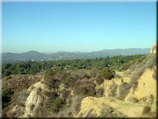
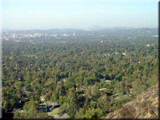
 The most technical descent begins at 5.69 miles, where the single track merges with the canyon drainage gully - expect to walk at least part of this section (it’s not far), being careful not to miss taking the path to the left at 5.74 miles. On clear days you will get some great views of the value as you reach the apex of the climb at 6.11 miles. From here the descent can get steep in places; keep the rear brake covered and consider walking if not confident in keeping control. The most technical descent begins at 5.69 miles, where the single track merges with the canyon drainage gully - expect to walk at least part of this section (it’s not far), being careful not to miss taking the path to the left at 5.74 miles. On clear days you will get some great views of the value as you reach the apex of the climb at 6.11 miles. From here the descent can get steep in places; keep the rear brake covered and consider walking if not confident in keeping control.
7.07 miles puts you on to the Mount Wilson Toll road, or what little of it remains after the huge slide in Winter of 2004 blocked what was one of the best work-out rides in the San Gabriels. Since the chain link fence gate is now closed, go left and cross the bridge. Immediately after bridge bear right (7.14 miles) to join a dirt access road. Take this path to 8.15 miles and turn right to cross the river bed - often dry but may have water flowing late winter/spring and even summer. Turning left after crossing the river bed will bring you to the car park at 8.38 miles.
|

