|
 From the parking area turn left on to the Angeles Crest and pass under the gate, if locked. Do not take the road opposite the parking area, heading South, unless you want to go to Crystal lake. From the parking area turn left on to the Angeles Crest and pass under the gate, if locked. Do not take the road opposite the parking area, heading South, unless you want to go to Crystal lake.
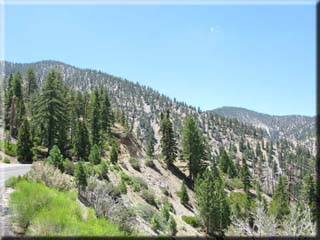
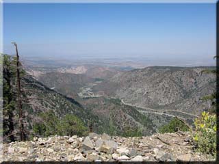
The climb from here is persistent but a steady gradient. There are frequent views into the desert communities to the North, and a cool clean pleasant feel to the air, even when the LA basin is cloaked in midsummer heat and smog.
After about 1 hour and 5.33 miles of climbing you will reach Dawson Saddle - the midpoint and high point at 7901’ according to the sign. From here it’s all downhill to the turnaround point.
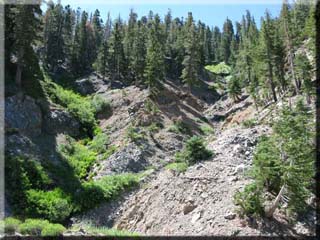
Just before Vincent Gap at 10 miles it becomes evident why the road is closed to vehicles: a large section has collapsed down the steep canyon wall. Caltrans is working to rebuild the road (one lane is completely destroyed) and according to a worker I met up there it is hoped the road will reopen either in the fall of 08 or spring of 09 (it is always closed during the winter months).
 At 10.63 miles a gate is reached marking the end of the closed section. The sign indicates Vincent Gulch Divide is at 6565’ - within a 100’ of the starting elevation. At 10.63 miles a gate is reached marking the end of the closed section. The sign indicates Vincent Gulch Divide is at 6565’ - within a 100’ of the starting elevation.
If you wished to continue riding, it is 5.25 miles to Big Pines and 9 miles to Wrightwood. For this trace however I turnaround at Vincent Gap.
|

