The Ride
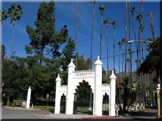
 Enter the park entrance and bear left at the library, following the one-way system. Head towards the Doctors house, and pass to its right. Pass through/around a gate (usually locked) at 0.39 miles and climb around the debris basin, again following the one-way signs. Bear left at 1.2 miles to begin climbing the fire road. The climbing from here is a fairly consistent grade and while the road is usually well maintained it is by no means easy. Enter the park entrance and bear left at the library, following the one-way system. Head towards the Doctors house, and pass to its right. Pass through/around a gate (usually locked) at 0.39 miles and climb around the debris basin, again following the one-way signs. Bear left at 1.2 miles to begin climbing the fire road. The climbing from here is a fairly consistent grade and while the road is usually well maintained it is by no means easy.
The Verdugo Motorway is reached at 3.91 miles, after almost 2000’ of climbing from the start of the ride. A bench makes this junction a convenient resting point.
Turn left onto Verdugo Motorway to continue the climb. The apex is reached at 5.67 miles and 3117’. There then follows a quick downhill, before bearing left at 5.94 miles (Hostetter on the right).
 From here it’s a fast and fun downhill. There are lots of switch-backs and hikers on the weekends, so speed control is prudent. The road also suffered quite a lot of rutting from recent rains when last ridden, which added to the interest - most could easily be ridden over with a bunny hop but a couple would easily cause a fall if the landing was misjudged. From here it’s a fast and fun downhill. There are lots of switch-backs and hikers on the weekends, so speed control is prudent. The road also suffered quite a lot of rutting from recent rains when last ridden, which added to the interest - most could easily be ridden over with a bunny hop but a couple would easily cause a fall if the landing was misjudged.
Another left turn is made at 8.72 miles (you’ve probably guessed by now there are no right turns on this ride!), and an exit from the fire road onto a paved parking area is made at 9.7 miles.
Fast downhills are not over yet; you will quickly pick up speed as you pass the golf course on the left (look out for cars and golf carts around here), before turning left at 10.78 miles on to Sunset Canyon. Follow this road (becomes Mountain Street) back to the start.
|

