The Ride
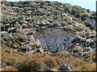 From the visitor centre parking ride West on the paved road, following signs to Chilao campground. At 0.98 miles go right at the junction onto 3N14, towards the ranger station. At 1.56 miles continue straight past the ranger station, staying on 3N14. From the visitor centre parking ride West on the paved road, following signs to Chilao campground. At 0.98 miles go right at the junction onto 3N14, towards the ranger station. At 1.56 miles continue straight past the ranger station, staying on 3N14.
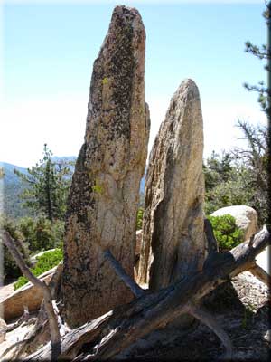 At 2.02 miles a Devils Postpile like rock formation can be seen on the right, and shortly after this at 2.08 miles the pavement ends and turns to dirt. An unmarked turnoff on the left at 2.32 miles leads to Loomis ranch. At 2.02 miles a Devils Postpile like rock formation can be seen on the right, and shortly after this at 2.08 miles the pavement ends and turns to dirt. An unmarked turnoff on the left at 2.32 miles leads to Loomis ranch.
The paved Santa Clara Divide road is reached at 4.36 miles, on to which you turn right. This road is open to vehicles and is narrow, so remain alert. At 4.67 miles there is a small parking area on the right, and the single track we take to go around Mount Hillyer. The single track starts out as being tame, but quickly becomes steep, and beyond my riding skills. However, it is a short walk through the toughest switchbacks before being able to remount and enjoy a very pleasant single track through the wooded area. The highest elevation of the ride is reached at around 5.55 miles, 55 minutes from the start.
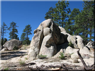
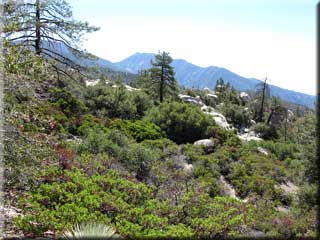
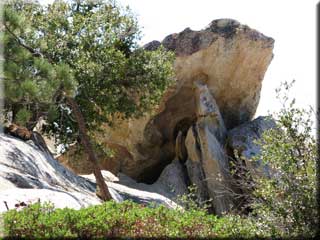
Continuing on the trail, you start to pass through numerous rock formations. The single track is steep and again technical in a few places but never dangerously exposed. You are also more likely to see hikers as you approach the campground, so speed control is prudent. Mount Wilson may be seen in the distance at 6.23 miles. After a challenging descent a small (dry) stream crossing is made at 6.85 miles, followed at 6.91 miles by turning right onto the paved road. Turn right again at 7.75 miles where the campground access road meets with the Santa Clara Divide (the same road we diverted off to take the single track).
Continue on the Santa Clara Divide road past various church camps, until at 10.08 miles it meets with the Angeles Crest. Turn right here and enjoy an easy downhill spin back to the Chilao Visitor centre turnoff, reached at 12.31 miles.
|

