The Ride
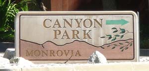 Assuming you start from outside the park, turn right onto Canyon Blvd at the Canyon Park sign, making this the 0 mile marker. At 0.19 miles pass through the gate which should be open during the posted hours. If not, look for signs indicating the park to be closed - it’s not unusual during periods of high fire danger for the park to be closed even if the Angeles Forest is open to recreational use. The park is also closed Tuesdays (and sometimes other weekdays) for police to use the shooting range. Assuming you start from outside the park, turn right onto Canyon Blvd at the Canyon Park sign, making this the 0 mile marker. At 0.19 miles pass through the gate which should be open during the posted hours. If not, look for signs indicating the park to be closed - it’s not unusual during periods of high fire danger for the park to be closed even if the Angeles Forest is open to recreational use. The park is also closed Tuesdays (and sometimes other weekdays) for police to use the shooting range.
At 0.55 miles you will pass the lower parking area, restrooms and toll booth. There are three car parking areas - the majority of visitors walk to the waterfalls; a relatively easy hike from any of the parking areas but closest to the upper one.
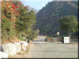 At 0.7 miles turn right to cross a small bridge, following the Trask sign. Now begins a short but tough climb as the road uses a few steep switchbacks to reach the top of the dam at 1.07 miles and 400’ above the start, where you will pass through a chain-link gate. Beyond here the climbing is easier. At 0.7 miles turn right to cross a small bridge, following the Trask sign. Now begins a short but tough climb as the road uses a few steep switchbacks to reach the top of the dam at 1.07 miles and 400’ above the start, where you will pass through a chain-link gate. Beyond here the climbing is easier.
At 1.63 miles the paved road ends at the Trask Scout Reservation. Bear right on to the road signed as Monrovia Canyon Road. There’s a residence on the left with a large dog that sometimes loiters around the fire road entrance but fortunately shows no interest in chasing riders/hikers. After just 0.3 miles there’s a locked gate to go around.
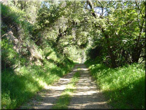
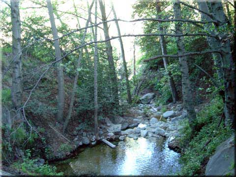
The fire road is a pleasant climb from here, especially in autumn when the leaves are falling. At 3.24 miles cross a drainage. The police shooting range is on the left at 3.4 miles, followed at 3.45 miles by an emergency phone and water tower. A single track trail takes off to the left at 3.57 miles - unfortunately cycles are prohibited.
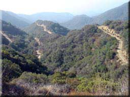 After a possible water crossing at 3.94 miles, 4.05 miles brings another trail on the left and restrooms (but no water). There’s also a sign showing the various trails and distances - according to this it’s another 1.5 miles to white saddle - our target for today. Around 4.7 miles the saddle comes in sight - look for the power lines along the ridge - that’s where we are going. After a few more switch backs comes the most deceiving part of the ride. You will be convinced your at the top only to turn another corner and find your not quite there. After a possible water crossing at 3.94 miles, 4.05 miles brings another trail on the left and restrooms (but no water). There’s also a sign showing the various trails and distances - according to this it’s another 1.5 miles to white saddle - our target for today. Around 4.7 miles the saddle comes in sight - look for the power lines along the ridge - that’s where we are going. After a few more switch backs comes the most deceiving part of the ride. You will be convinced your at the top only to turn another corner and find your not quite there.
Finally at 5.46 miles you will reach white saddle. Continuing to straight on 2N30 would take you to Red Box Rincon Road (3.1 miles according to the sign). 1N36 on the right can be used to create a loop by descending onto Fish Canyon Road in Duarte (returning to the start via the residential streets). While I’ve done this loop a couple of times I advise against it - exiting on to Fish Canyon requires passing some stables with a large number of very un-welcoming dogs. I was told by someone there that walking the bike avoids the dogs getting excited but regardless I don’t ever plan to ride through there again!
I recommend going right on 1N36 to 5.83 miles where I turn off on the left (under one of the towers) for a nice view both into the mountains and the valley. There are a few roads branching off around here but most go downhill and that means climbing back up, so I make this the turnaround point and backtrack
.
|

