|
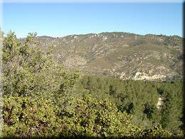 The ride begins by returning to the access road you just drove up, turning right and going through/around the gate. Although traffic is light when the gate is open you will probably want to take a break and let the dust settle if passed. There are few junctions on this ride so don’t worry about losing your way – settle into the climb and enjoy the views. To the North you will see the road snaking its way to the summit of Mount Gleason, and beyond the mountain range lies the high desert region at ~2500’ above MSL. The road is typically well graded, although loose/sandy in places - worth noting for the return which can be fast! The ride begins by returning to the access road you just drove up, turning right and going through/around the gate. Although traffic is light when the gate is open you will probably want to take a break and let the dust settle if passed. There are few junctions on this ride so don’t worry about losing your way – settle into the climb and enjoy the views. To the North you will see the road snaking its way to the summit of Mount Gleason, and beyond the mountain range lies the high desert region at ~2500’ above MSL. The road is typically well graded, although loose/sandy in places - worth noting for the return which can be fast!
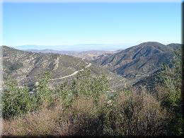 At 3.15 miles/6219’ you will reach the junction with a fire road on the right going to Roundtop and Granite Mountain. While it is not described here this is a worthwhile extension for those with the energy and inclination to go further. At 3.15 miles/6219’ you will reach the junction with a fire road on the right going to Roundtop and Granite Mountain. While it is not described here this is a worthwhile extension for those with the energy and inclination to go further.
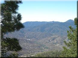 Continuing on the road to Mount Pacifico, at 4.44 miles turn left. The sign claims just 1 mile to the campground; 1.5 would be more accurate. Mount Wilson may be visible in the distance, and even peaks in Orange County if weather conditions permit. Continuing on the road to Mount Pacifico, at 4.44 miles turn left. The sign claims just 1 mile to the campground; 1.5 would be more accurate. Mount Wilson may be visible in the distance, and even peaks in Orange County if weather conditions permit.
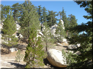
Just 0.2 miles past the last junction you can opt to leave the main fire road and take a trail to the left. This detour uses what remains of a badly eroded fire road, and may well require a little hiking. It is however pleasant high country and it’s unlikely you will run into anyone else on this section. Follow the path to the right at 5.25 miles and pass to the left of a rock formation to rejoin the main fire road to Pacifico at 5.77 miles.
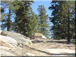
The campground sign is reached at 6.7 miles; follow the road to the right to tables/benches and limited camping facilities (no water).
After relaxing in the cool clear air, return by retracing the route up. For a small variation go left at 12.07 miles and take the less maintained road through the pine trees before rejoining the main fire road (go left) less than half a mile before the parking lot gate.
|

